Hurricane Irene Photos- Bushkill PA, Delaware Water Gap PA, Middle Smithfield PA, Saw Creek Estates
The following photos of hurricane Irene were taken across the Delaware river, Delaware water gap, up northward to Bushkill, PA (East Stroudsburg, Middle Smithfield)
Hurricane Irene caused significant damage across much of the Poconos on Sunday, August 28 2011. The following is a series of photos taken from the above named areas. Click on the thumbnails for full sized images.
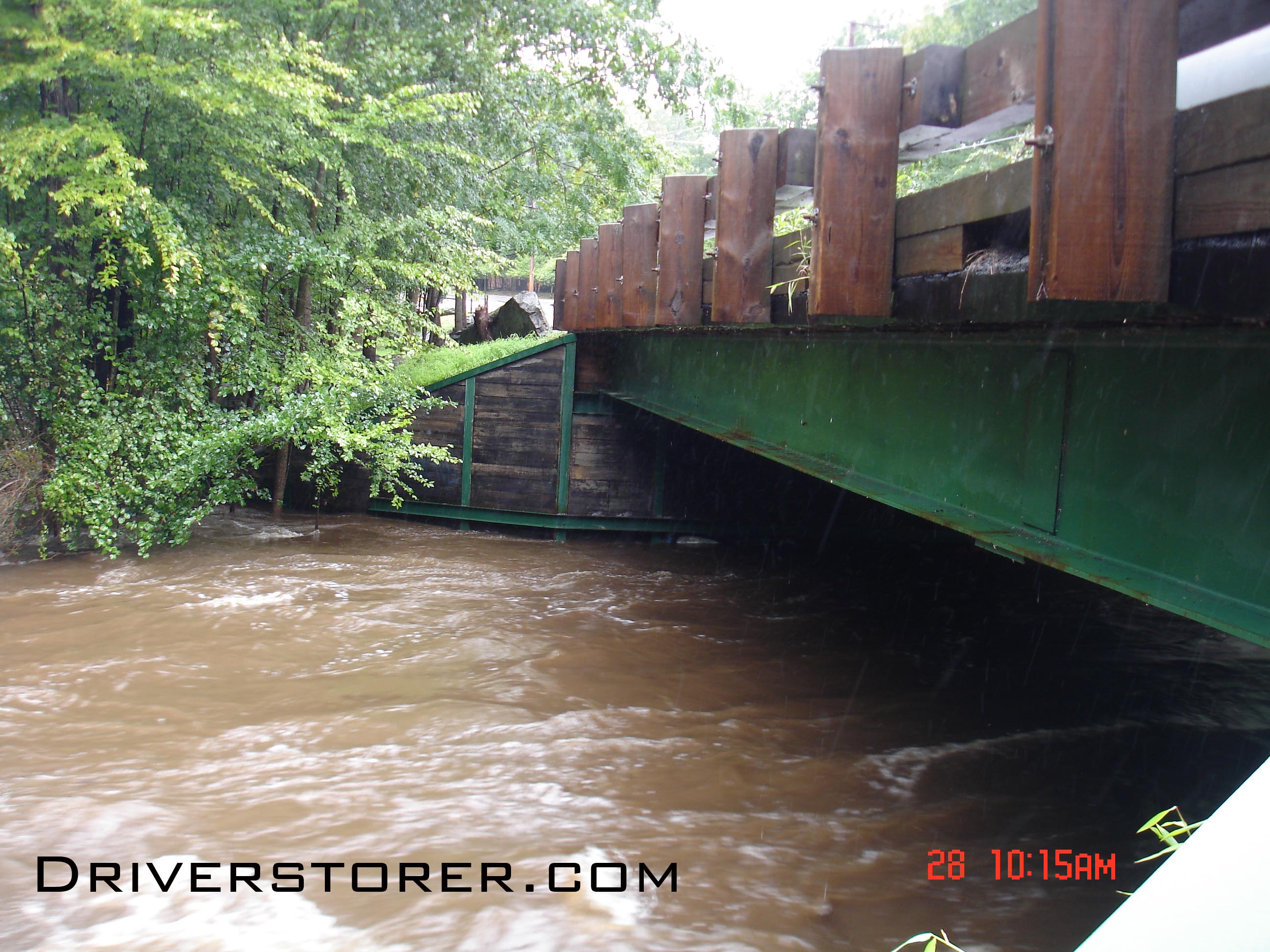
Hurricane Irene Saw Creek flooding Bushkill, PA The Green I beam shown to the right is usually about 15 feet from the water. Only about 5 feet of space remains.
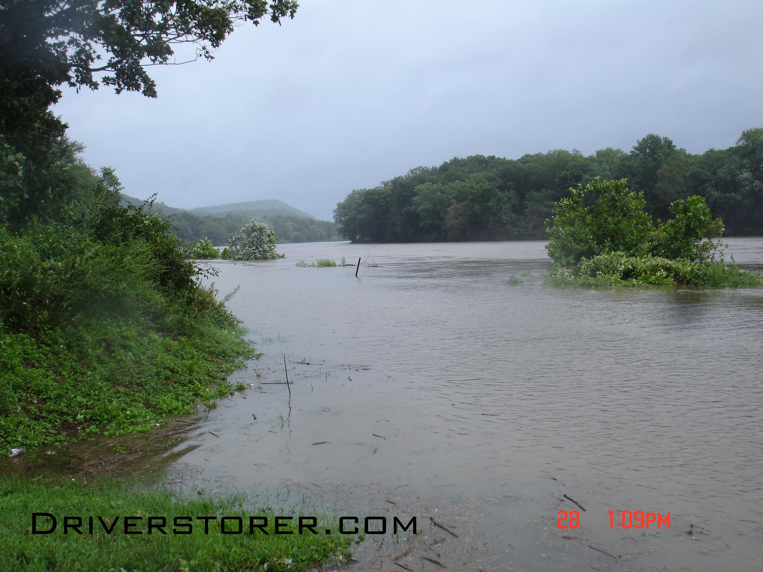
A north facing view of the Delaware River from the Bushkill access point, 15 miles north of the Delaware Water Gap
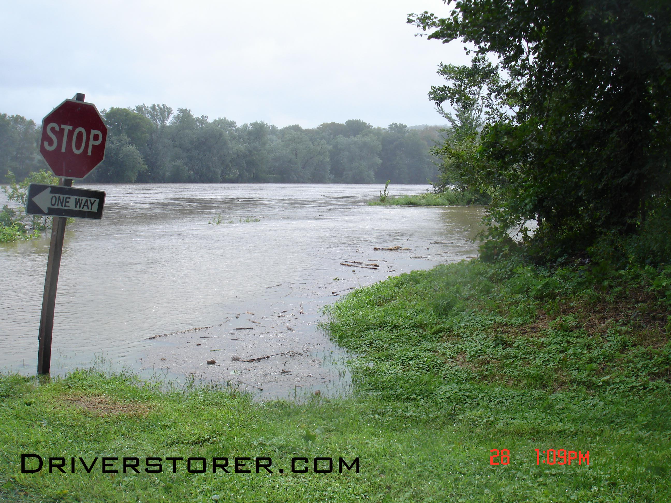
A South facing view of the Delaware River from the Bushkill access point, 15 miles north of the Delaware Water Gap
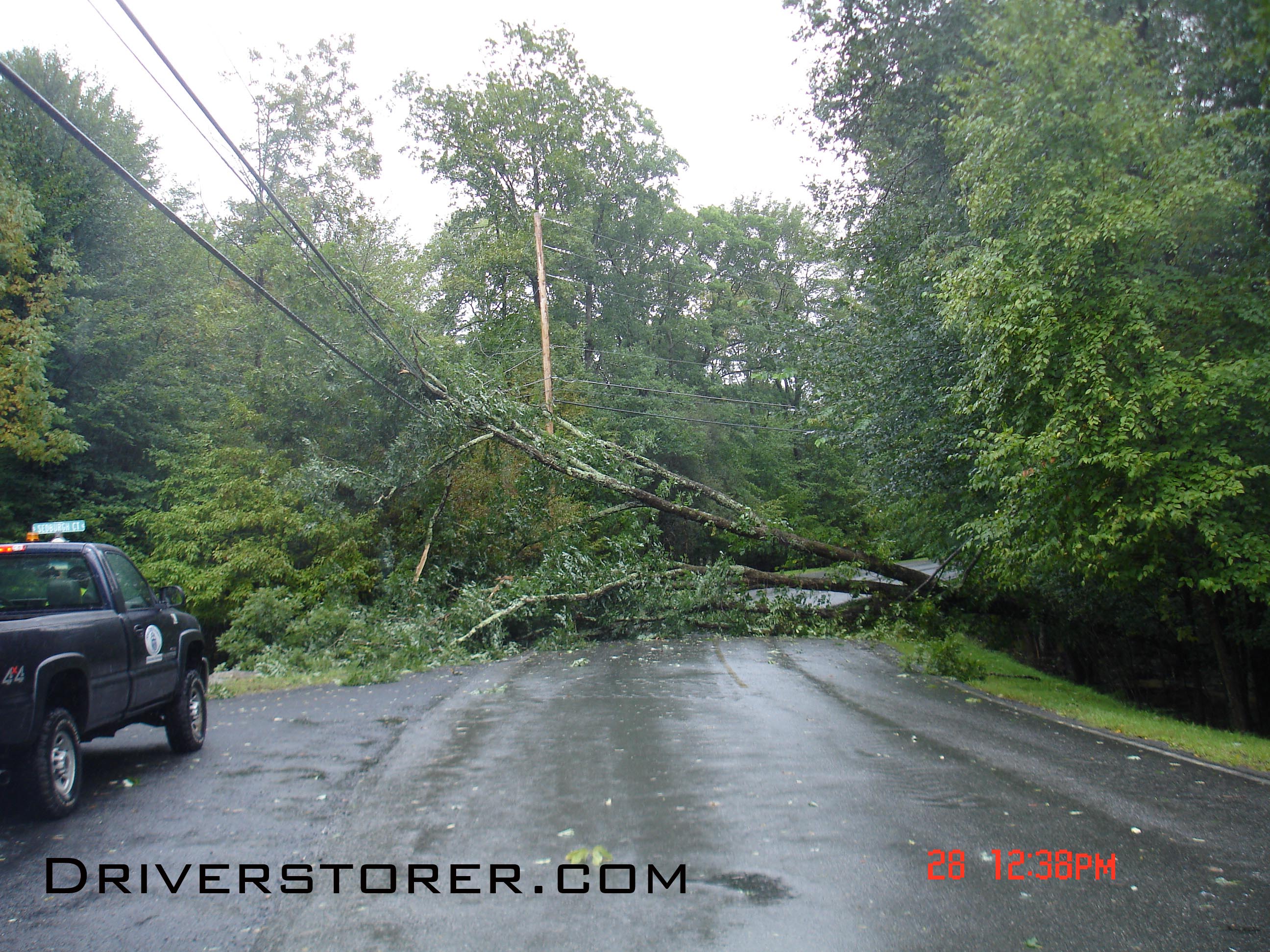
Tree over power lines on Lower Woodbridge Road in the Falls at Saw Creek Estates
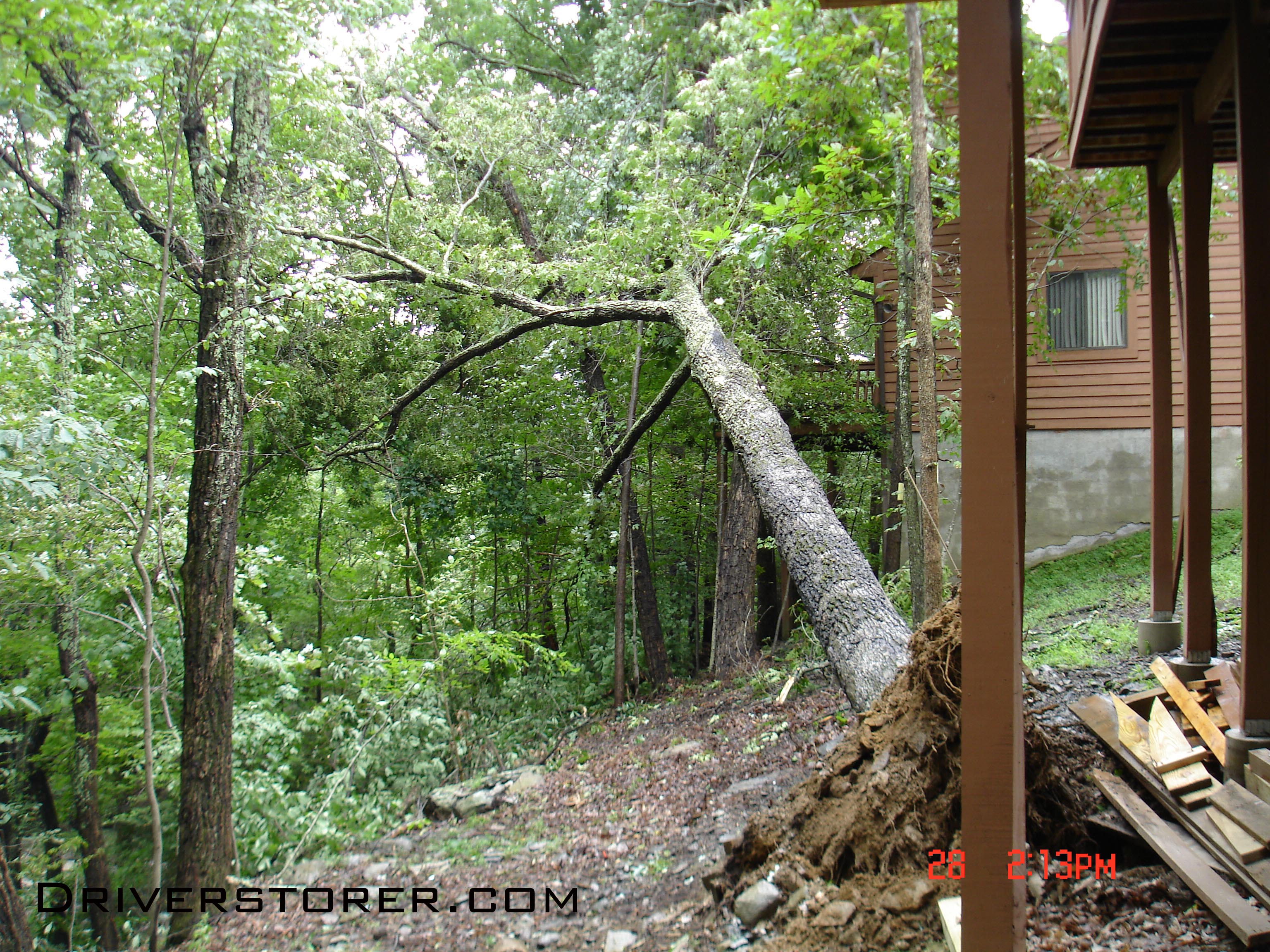
A tree falls behind a row of houses in the Falls at Saw Creek Estates in Bushkill, PA
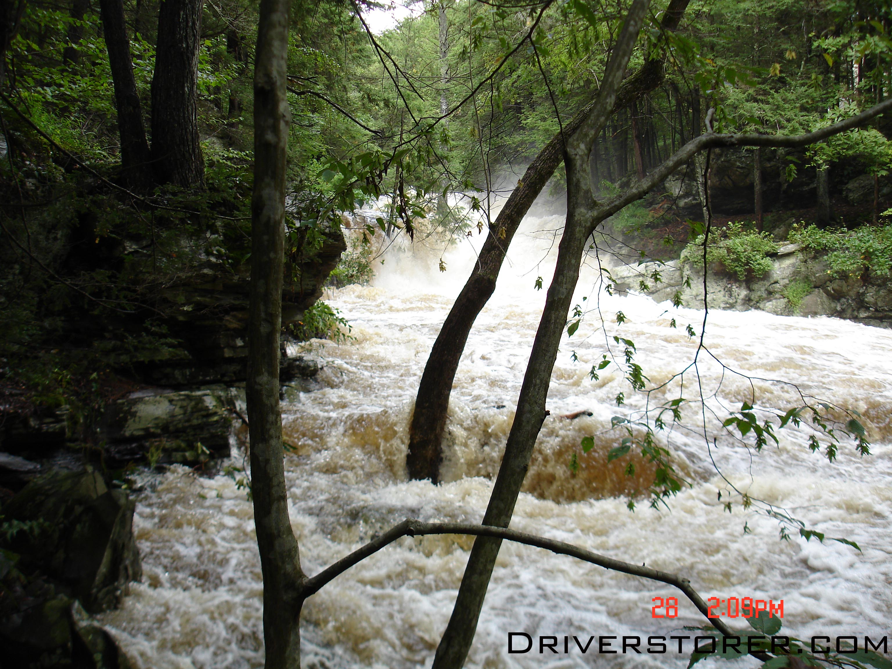
Trees take a pounding as the Saw Creek spills it's banks.

The Bushkill Creek overtaking Creek Road near 209 and Bushkill Falls Road

This spot is the location of a 10 foot waterfall, now it looks like a raging torrent.

Flood waters from the Saw Creek Flow over Decker road
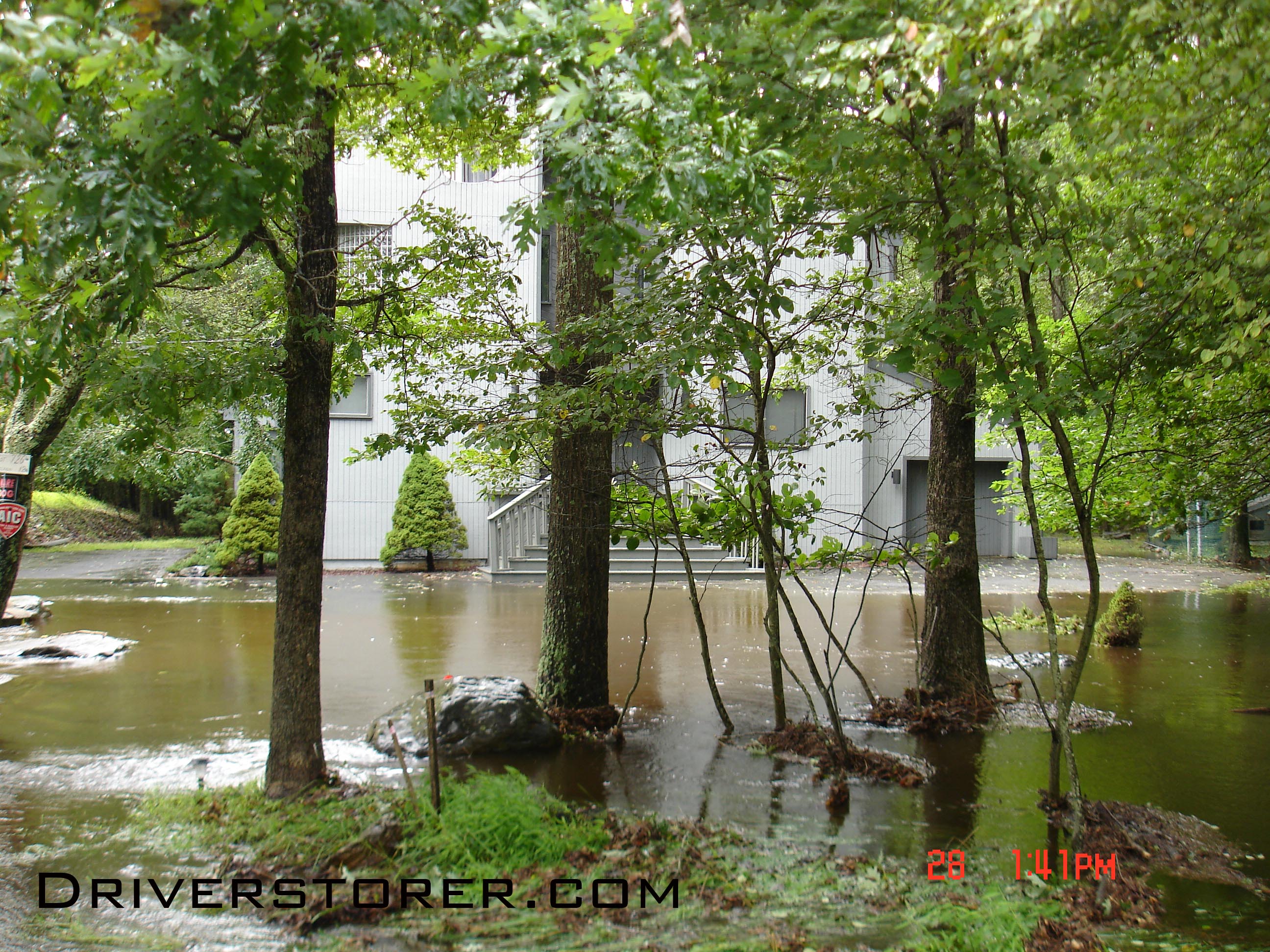
Flood waters from the Saw Creek surround a home on Decker Road

Decker Road's third bridge sustains damage caused by the Saw Creek flowing over it.

Water overtakes a bridge on Hollow Road near Shawnee Mountain
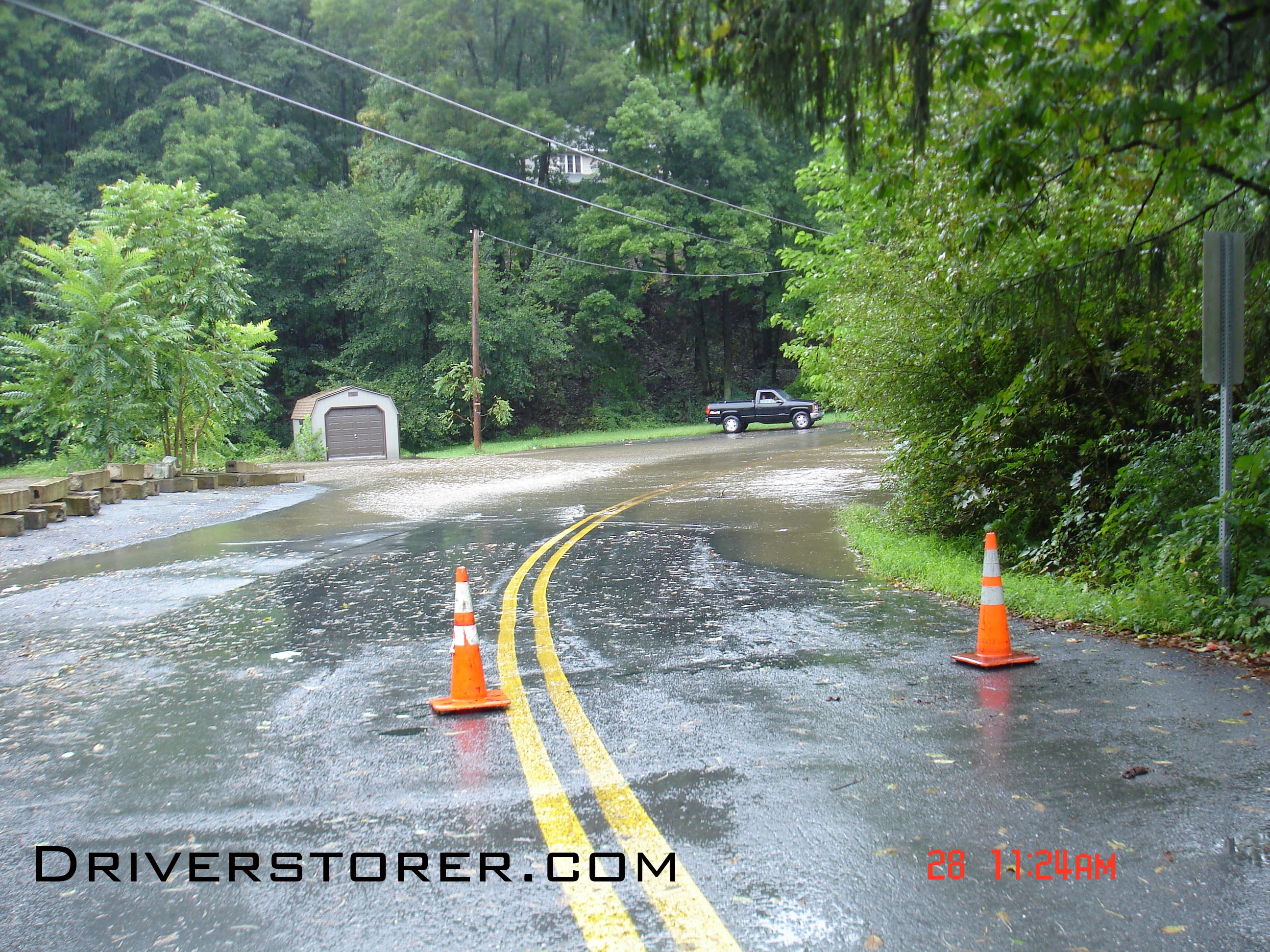
Flood waters spill over Gap View Drive near River road in the Delaware Water Gap and Minisink
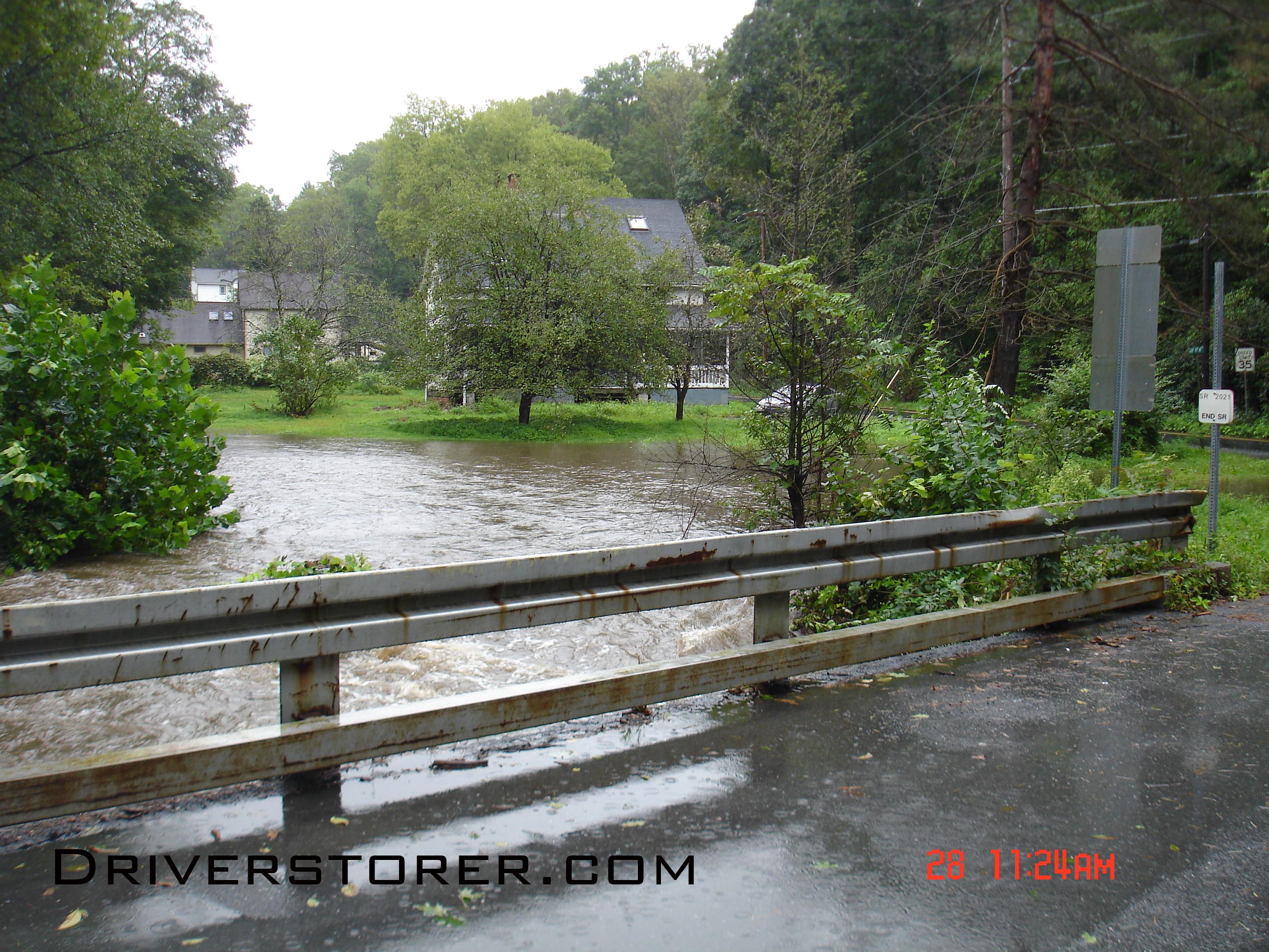
Facing Northbound on river road at the loaction of the Shawnee Roller rink
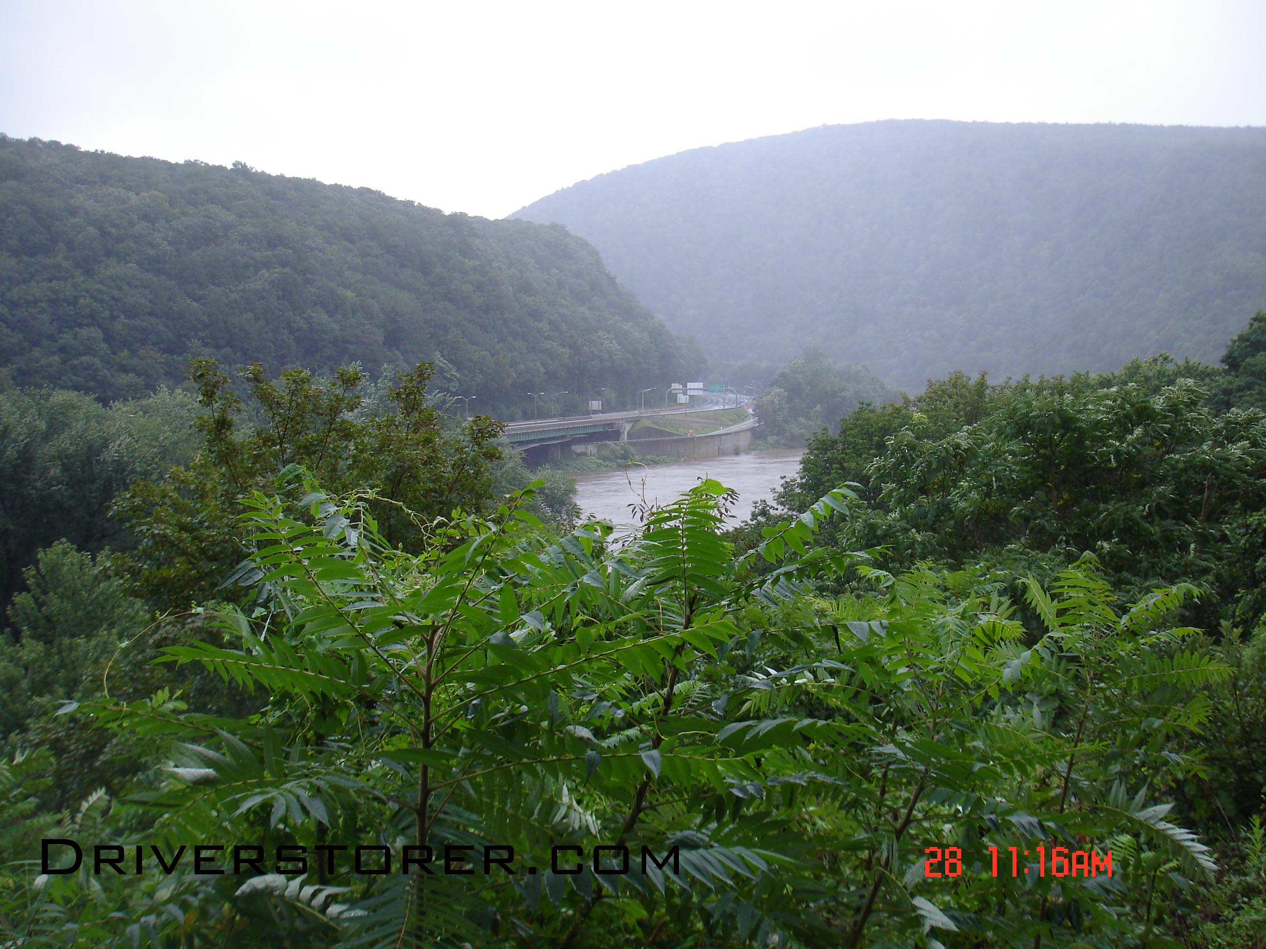
View of the Deleware Water Gap from the 611 scenic overlook during Hurricane Irene
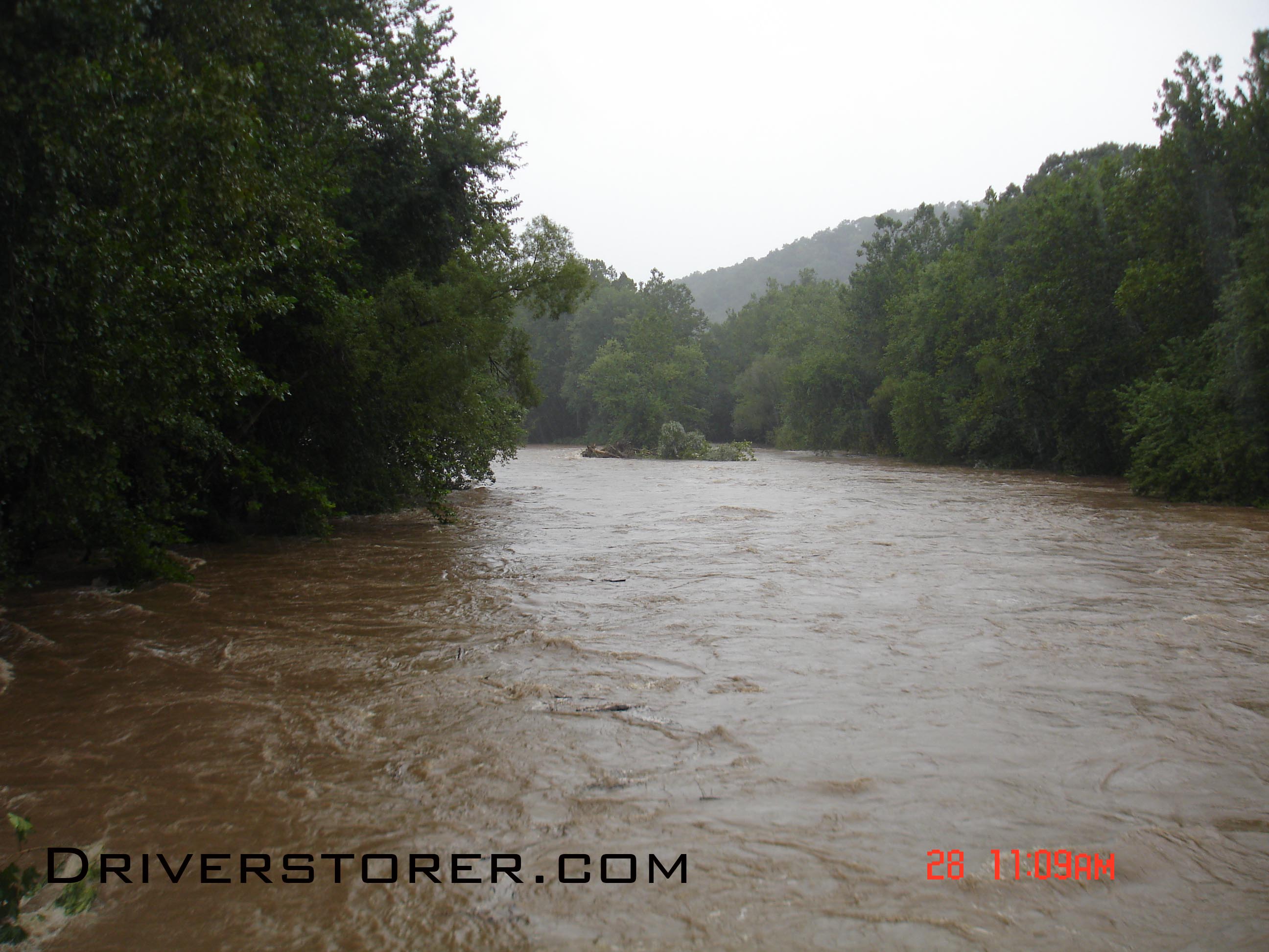
Facing westbound, the Broadheadsville Creek starts to overflow its banks near the Delaware River in the Delaware Water Gap
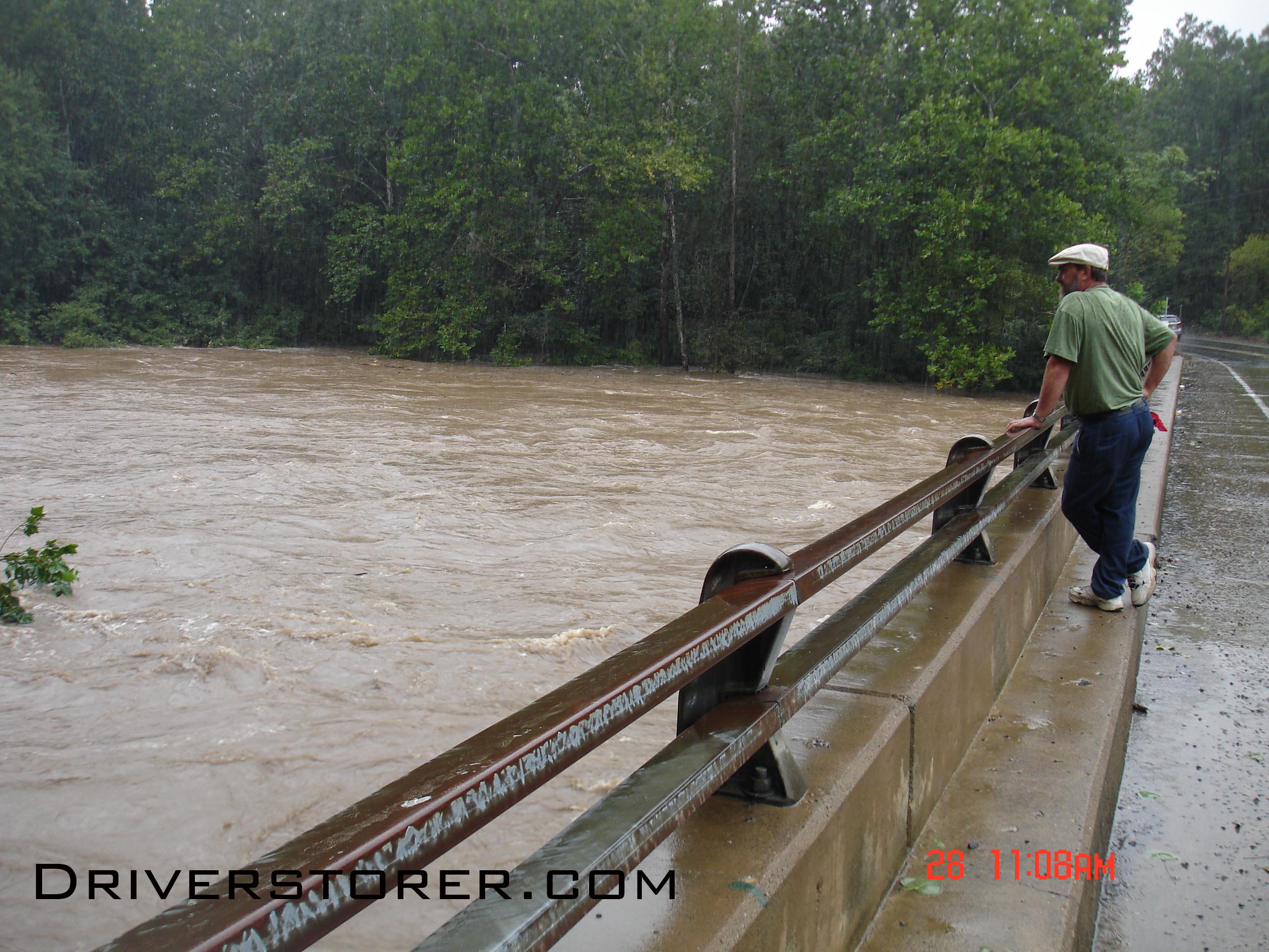
A man watches the Broadheadsville Creek flow only a few feet under his feet near the Delaware River in the Delaware Water Gap
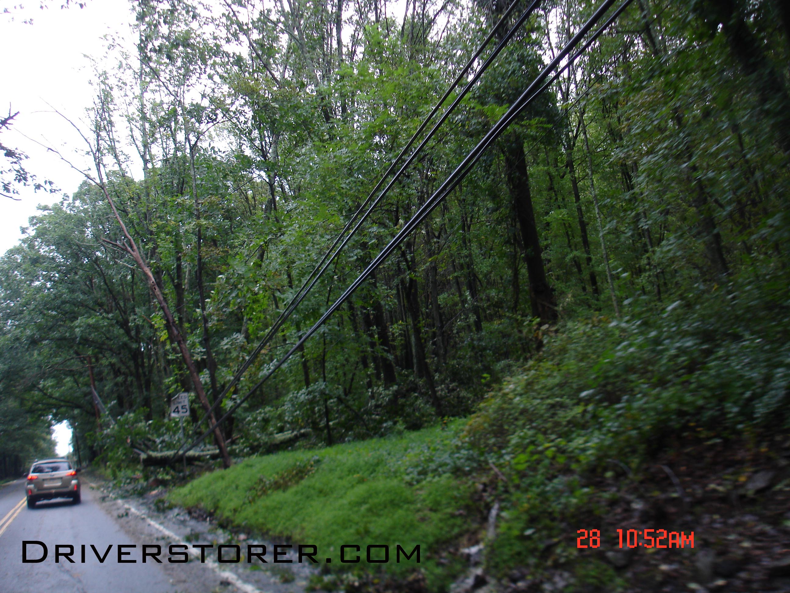
Trees topple power lines all across the Poconos in Pennsylvania
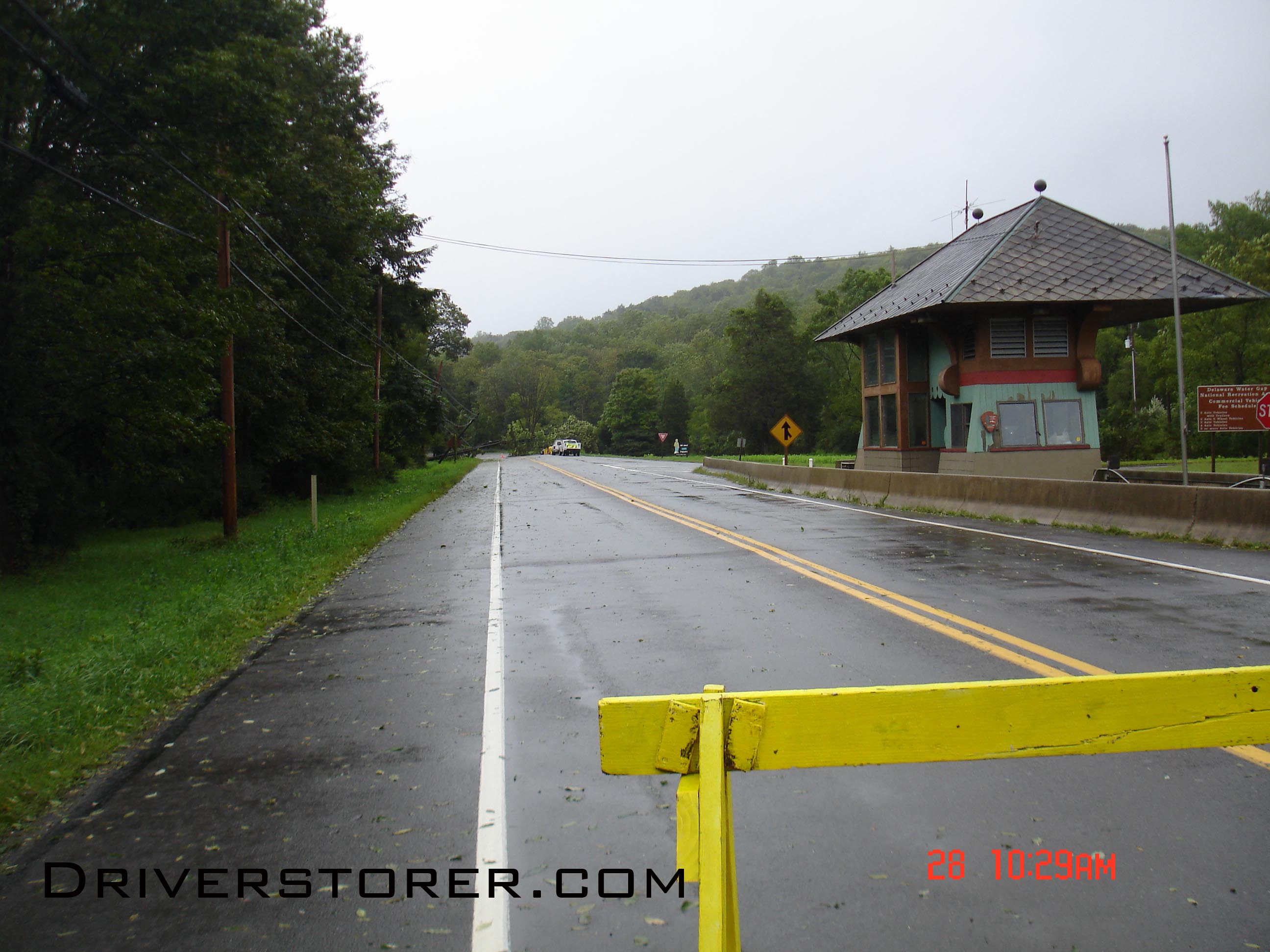
209 North at the Deleware River National Recreation Area weigh in station shut down
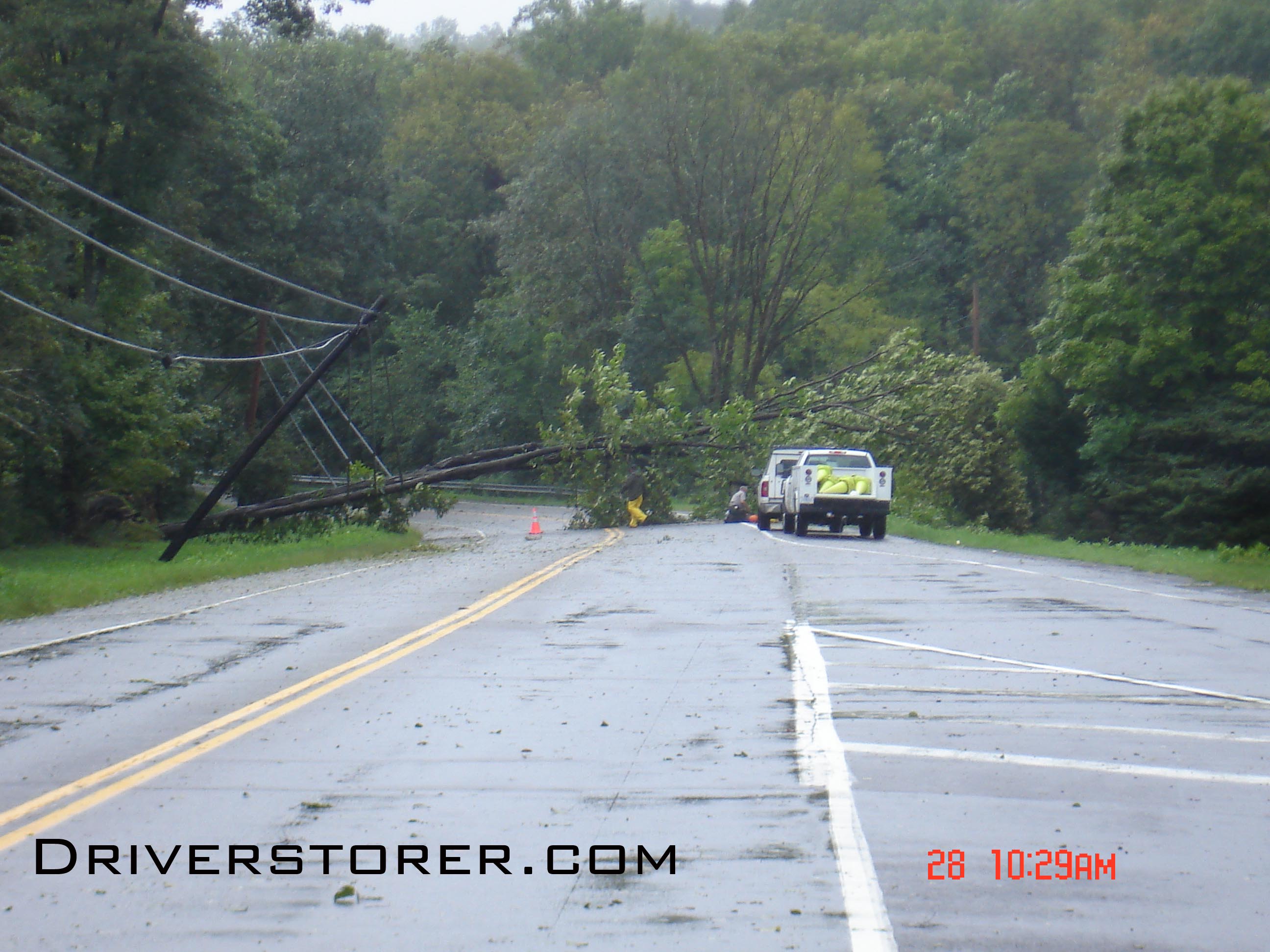
One of the fallen trees that caused the shut down of 209 North at the Delaware River National Recreation Area weigh in station
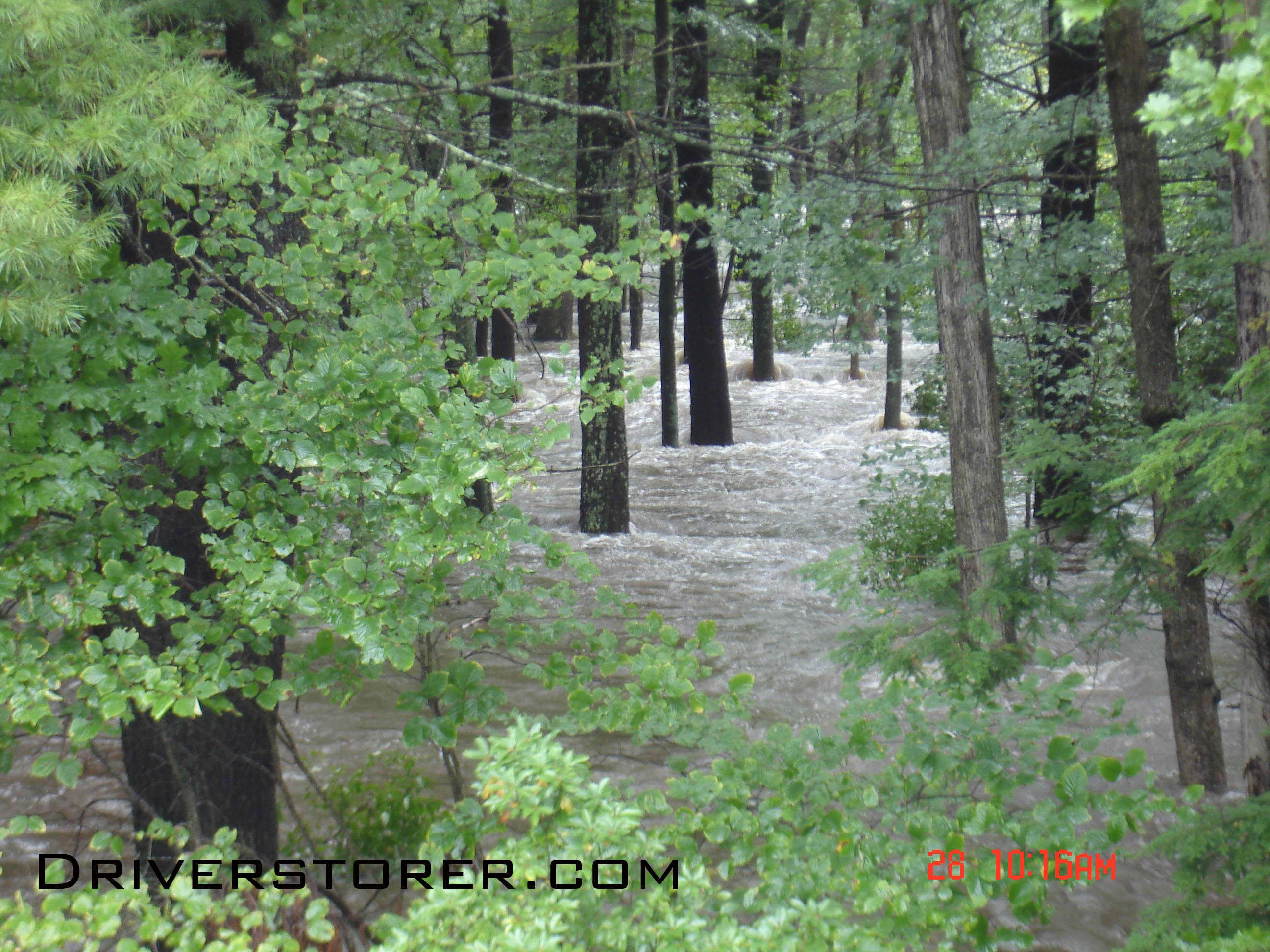
Flood waters rush through the forest where flood waters have never been in Saw Creek Estates, Bushkill PA